When should I start my descent, and how fast should I descend?
On a 3 degree path you lose about 318 feet per nautical mile, the tangent of 3 degrees times 6,076 feet. Divide the altitude to lose by that to get the distance to start down. Multiply groundspeed in nautical miles per minute by 318 for the descent rate, about five times groundspeed.
- Start down this far out
- 17.5 nm
- Descent rate
- 743 ft/min
- Time to descend
- 8.75 min
E6B: Training aid only, not for navigation or flight. Verify with your POH/AFM and approved sources.
Play
Speed up the airplane and watch the descent rate climb while the distance stays put.
Stuck? Pick one of the examples from the “Try an example” menu, or press “New example.”
Understand
A descent at a fixed angle is a right triangle. The tangent links the altitude lost to the ground covered:
One nautical mile is 6,076 ft, so a 3° path loses ft per nm. Divide the altitude to lose by that to find where to start. Multiply by nautical miles per minute to get feet per minute.
The picture stretches the height so you can see the path. A real 3° slope is almost flat.
Use
Every input has a unit menu, so you can type values in the units you already have. Results follow your units.
Show the work
- Feet lost per nautical mile
6076 \tan 3.5^\circ = 371.6\ \text{ft/nm} - Distance to start down
d = \frac{7500 - 1000}{6076\tan 3.5^\circ} = 17.49\ \text{nm} - Descent rate = groundspeed × feet per nm
\frac{120}{60} \times 371.6 = 743.3\ \text{ft/min} - Rules of thumb for 3°
\text{nm} \approx 3 \times \frac{\Delta h}{1000} = 19.5,\quad \text{ft/min} \approx 5 \times \text{GS} = 600
Export
Enter cruise and target altitudes, the groundspeed you expect in the descent, and the path angle.
- Groundspeed in the descent is often higher than cruise. Use what you expect, including wind.
- Instrument approaches publish their own descent angles and altitudes. Always fly those.
For learning and estimation. Verify with applicable codes, standards, and a qualified professional before using in design, construction, or safety-critical work.
Cheat card
| Symbol | Meaning | Unit |
|---|---|---|
| altitude to lose | ft | |
| descent path angle | ° | |
| groundspeed | kt |
- The distance depends only on the angle and the altitude. Speed changes the rate, not where to start.
- Start a little early. It's easier to level off than to dive to catch up.
- Follow published approach procedures and ATC instructions. They set the real descent points.
Where it’s used
- Aerospace
Pilots and flight management computers plan top of descent so the airplane arrives at pattern or approach altitude without a steep dive. - Driving & Travel
It's why airliners start down 100 miles or more from the airport.
Related exhibits
 Start here
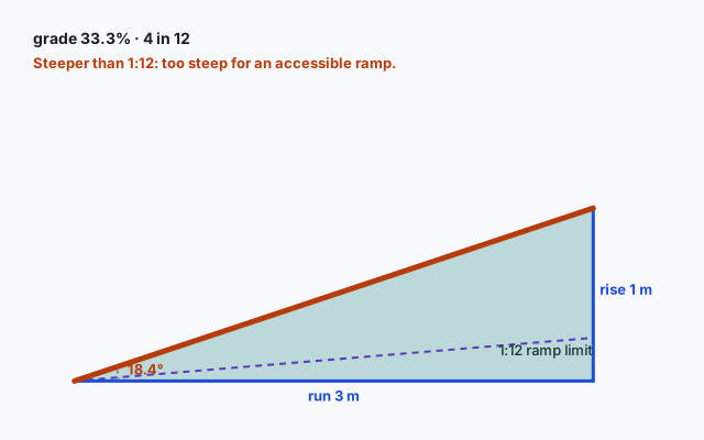
Roof pitch and ramp slope: rise over run
Slope is one number that decides whether a roof sheds water or a ramp is safe to roll up.
 Go further
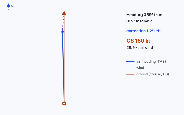
E6B wind triangle: heading and groundspeed
Point the nose into the wind just enough to track your course. Three vectors, one triangle.
 Also try
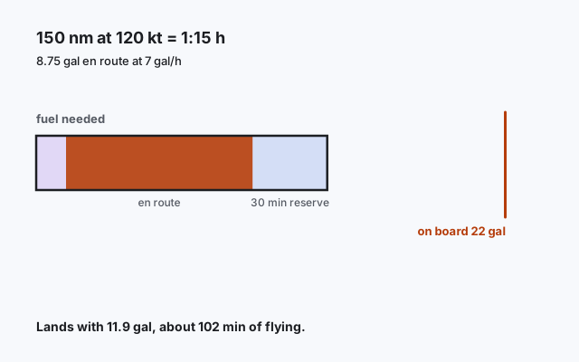
E6B time and fuel: will it make it with a reserve?
Distance over groundspeed gives time; time times burn gives fuel. Then leave something in the tanks.
 Also try
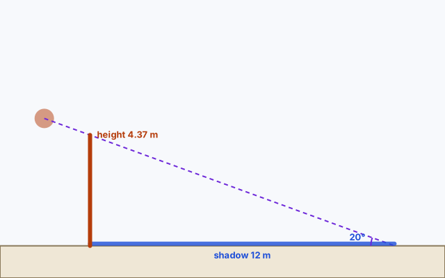
How tall is that tree? Measure its shadow
One shadow and the sun’s angle give you the height, no climbing needed.
Questions people ask
How do you calculate top of descent?
For a 3° path, multiply the thousands of feet to lose by 3 to get nautical miles. Losing 4,000 ft needs about 12 nm. The exact answer divides the altitude by 6,076 tan 3° = 318 ft per nm.
What descent rate gives a 3-degree path?
About five times your groundspeed in feet per minute. At 120 kt, that's roughly 600 ft/min. The exact value is 637 ft/min.
Why does the descent rate depend on groundspeed?
The angle fixes feet lost per nautical mile. Covering nautical miles faster means losing those feet faster, so the rate in feet per minute goes up.